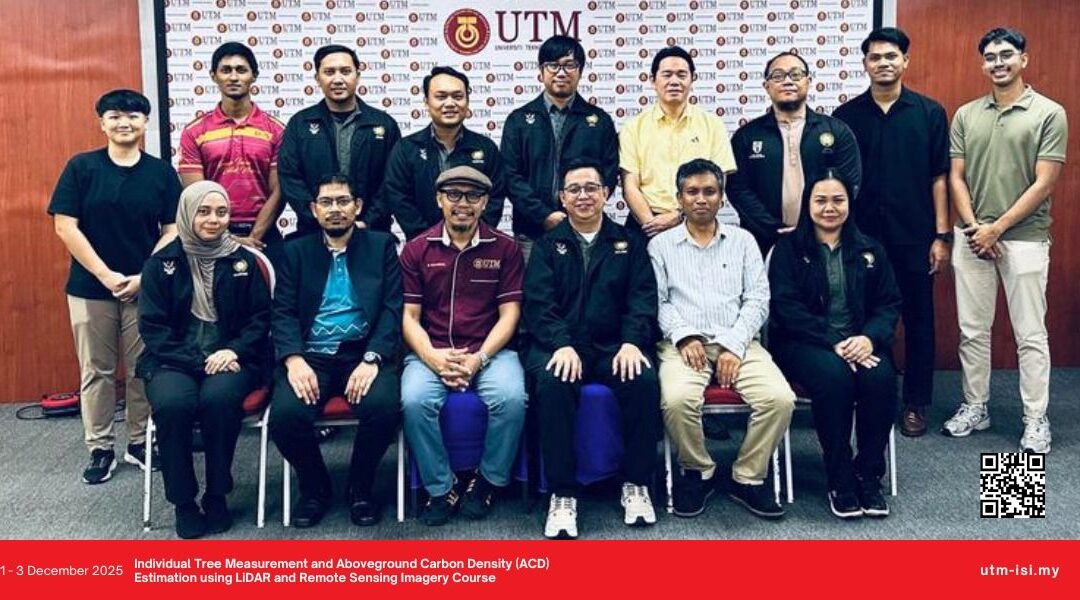
From 1-3 December 2025, the Individual Tree Measurement and Aboveground Carbon Density (ACD) Estimation using LiDAR and Remote Sensing Imagery Course was successfully held at Faculty of Built Environment and Surveying, Universiti Teknologi Malaysia Johor Bahru with participants from Forest Department Sarawak.
This course aimed to provide an in-depth understanding of various methods and techniques for individual tree measurement and Aboveground Carbon Density (ACD) estimation using LiDAR and Remote Sensing Imagery, which are crucial for sustainable forest management and resource assessment.
Led by Assoc Prof Ts Dr. Muhammad Zulkarnain bin Abd Rahman, Dr. Norhakim bin Yusof, Dr. Alvin Lau Meng Shin, Mr Wan Hazli Bin Wan Kadir and Mr Omar Farouk Fauzi, we hope the knowledge gained from this course can be directly applied to conduct their day-to-day responsibilities at Forest Department Sarawak.